Scenic Roads to Explore near Graham County NC
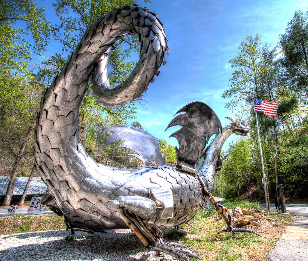
Tail of the Dragon at Deals Gap
Tail of the Dragon crossing Deals Gap at the Tennessee/North Carolina state line, is considered by many as one of the world's best motorcycling and sports car roads. Anyone looking for an exciting highway adventure will enjoy this stretch of US 129. Riders and drivers from all over the USA and many foreign countries come to enjoy our mountain roads, but the Tail of the Dragon is the biggest attraction for thrill seekers. The eleven miles features 318 curves none of which are the same. There are no buildings or driveways along the roadside, just the Great Smoky Mountain National Forest on the north side and the Cherokee National Forest on the south side.
Website: Tail of the Dragon
Maps: Tail of the Dragon, Great Regional Roads, Dragon Cherohala Loop
Brochure: Tail of the Dragon
Cherohala Skyway
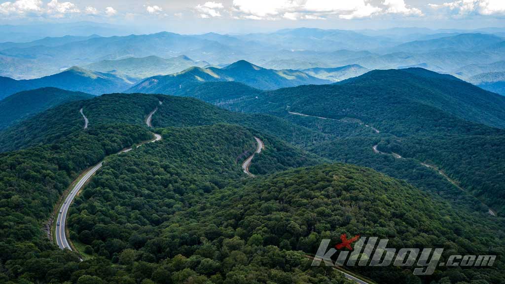
The Cherohala Skyway was completed in the fall of 1996 after being under construction for some thirty-four years. At the time it was North Carolina's most expensive highway carrying a price tag of $100,000,000. This roadway twists up and over 5,000 foot mountains for 17 miles in North Carolina and descends another 24 miles into the deeply forested backcountry of Tennessee. The road crosses through the Cherokee and Nantahala National Forests thus the name "Chero...hala". The Skyway is becoming well known for its natural beauty and scenic overlooks with views that rival or surpass any from the Blue Ridge Parkway. There is usually a ten degree difference in temperatures from the lower elevations. In spring and fall you might want to bring along a jacket.
Links: Cherohala Skyway
Maps: Cherohala Skyway, Great Regional Roads Map
Brochure: Cherohala Brochure (PDF)
Moonshiner28
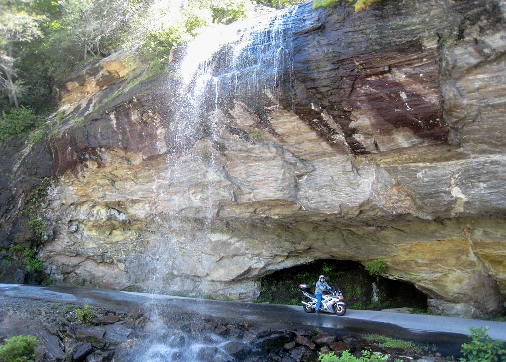
Stretching from US 129 at the Tail of the Dragon at Deals Gap, Moonshiner 28 winds its way southeastward through Franklin and Highlands North Carolina before turning southward into Georgia and South Carolina ending at Walhalla. Once one of the major runs for moonshiners with revenuers hot on their bumper, the road today boasts some great twisties, wide sweepers and unsurpassed scenery. Mountain vistas, waterfalls and secluded lakes appear around nearly every corner.
Website: Moonshiner28,
Maps: Moonshiner28 , Great Regional Roads
Forest Service Roads
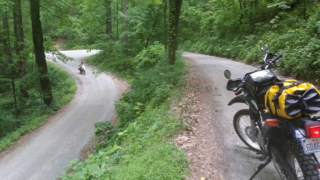
There are hundreds of miles of forest service gravel roads in western North Carolina and eastern Tennessee. These will take you to the less traveled areas where you might not see another vehicle all day. Secluded mountain tops, virgin streams and forests await the explorer. We recommend GPS units for these back roads suited for Jeeps and dual sport motorcycles. Two of the best forest service roads are the 8 mile long Tatham Gap Road (SR 1110) from Robbinsville to Andrews and the Santeetlah Creek Wagon Train Road (FS 81) from Santeetlah Gap crossing the Cherohala Skyway into Tennessee and then down (FR 217) to the Tellico River (20 miles total one-way).
Maps: Tatham Gap Gravel, Wagon Train Gravel, Great Gravel Roads
Foothills Parkway
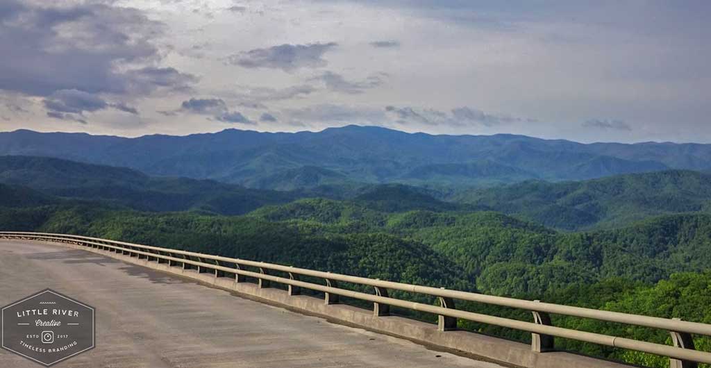
The southern 17 mile section of the Foothills parkway has been open for more than 50 years and offers scenic views of the Tennessee Valley on one side and the Great Smoky Mountains on the other. In late 2018 tourists will be able to continue on this unique byway for another 16 miles to Wears Valley when the second section opens.
Website: Foothills Parkway TN
Maps: Foothills Parkway TN
Blue Ridge Parkway
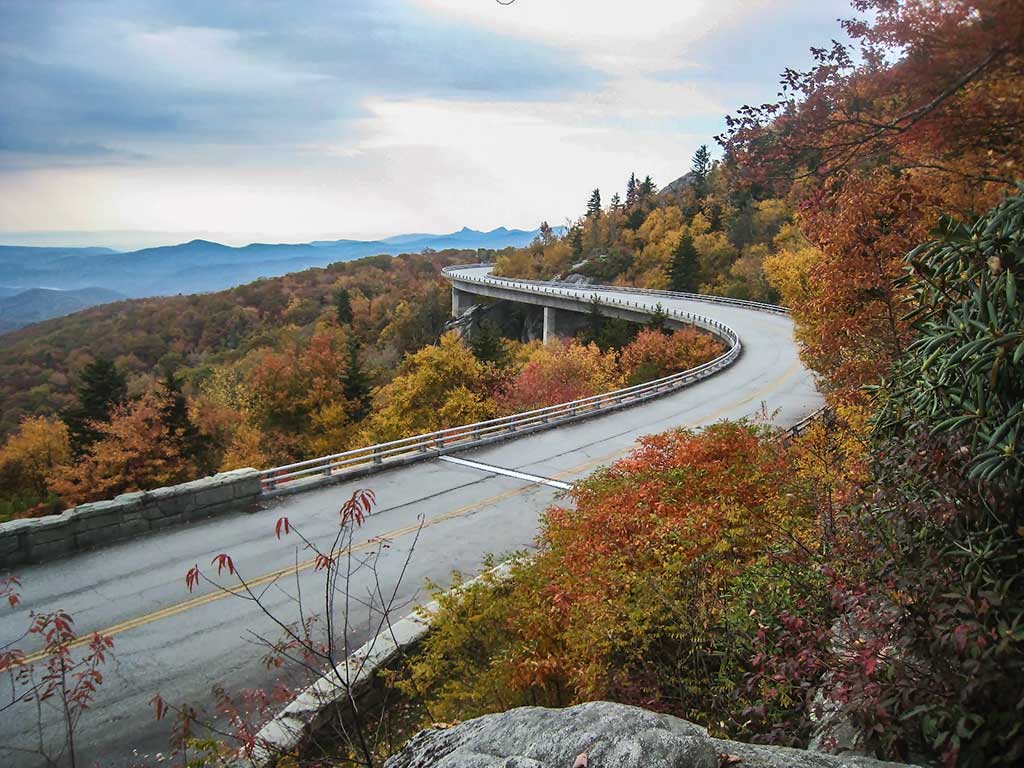
The BRP begins its 469 miles trek just outside of Cherokee, North Carolina. The Parkway provides spectacular mountain and valley vistas, quiet pastoral scenes, sparkling waterfalls and colorful flower and foliage displays as it extends through the Blue Ridge Mountains of Virginia and North Carolina.
Website: Blue Ridge Parkway website
Maps: Blue Ridge Parkway - North Carolina northern section , Blue Ridge Parkway - North Carolina southern section Great Regional Roads
Indian Lakes Scenic Loop
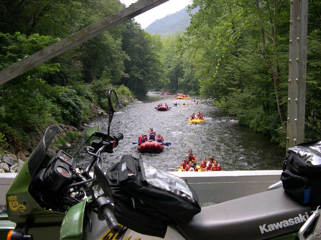
A 50-mile route that winds through the Nantahala National Forest along the edge of Great Smoky Mountains National Park past Fontana, Cheoah, Santeetlah Lakes, and through the whitewater playground of the Nantahala Gorge.
Gambler
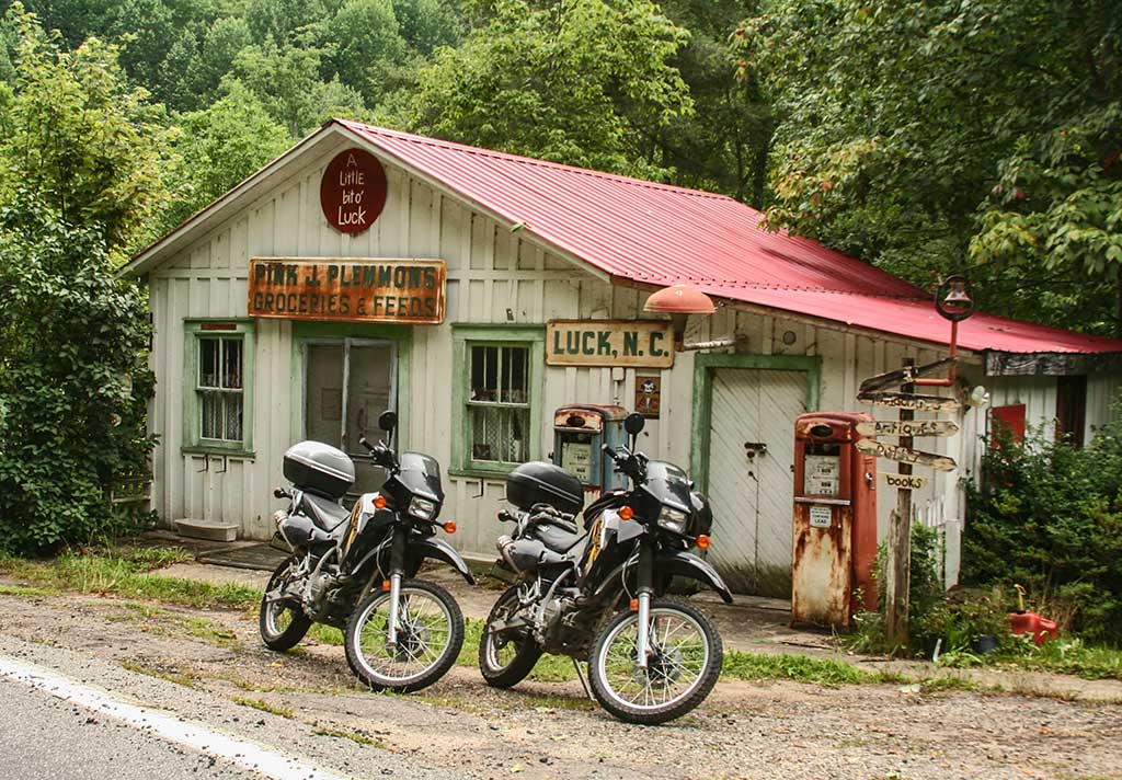
The Gambler, also known as the Rattler, runs from Ferguson's General Store northward 24. 7 miles to Hot Springs, NC. Designated NC209, we feel the Gambler is a more appropriate name as the highway passes through small country crossroads named Luck, Trust, and Bluff. There are some seriously twisty sections here and there along the route.
Map: Gambler NC
